
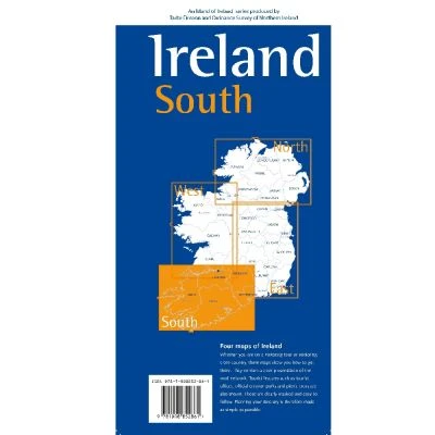
OSI Ireland South 1:250K Map
Discover the breathtaking landscapes and historic sites of Ireland's southern region with the OSI Ireland South 1:250K Map, an essential guide for hikers and explorers.
Features:
- Detailed coverage of Cork City, Limerick City, and towns in Waterford, Cork, Tipperary, and Kerry.
- Comprehensive display of motorways, principal roads, and rail networks.
- Coastal routes from Dungarvan to Kinsale, including the Wild Atlantic Way.
- Highlights of mountain ranges such as Macgillycuddy’s Reeks and the Galty Mountains.
- Points of historic interest including Blarney Castle and the Rock of Cashel.
- Detailed fishing rivers and Gaeltacht regions for cultural immersion.
- High-quality 600 DPI print for exceptional clarity.
$11.76
OSI Ireland South 1:250K Map—
$11.76
Product Information
Product Information
Shipping & Returns
Shipping & Returns
Description
Discover the breathtaking landscapes and historic sites of Ireland's southern region with the OSI Ireland South 1:250K Map, an essential guide for hikers and explorers.
Features:
- Detailed coverage of Cork City, Limerick City, and towns in Waterford, Cork, Tipperary, and Kerry.
- Comprehensive display of motorways, principal roads, and rail networks.
- Coastal routes from Dungarvan to Kinsale, including the Wild Atlantic Way.
- Highlights of mountain ranges such as Macgillycuddy’s Reeks and the Galty Mountains.
- Points of historic interest including Blarney Castle and the Rock of Cashel.
- Detailed fishing rivers and Gaeltacht regions for cultural immersion.
- High-quality 600 DPI print for exceptional clarity.