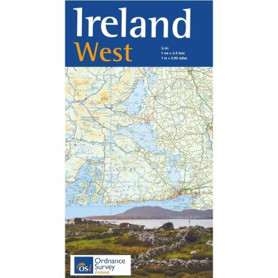
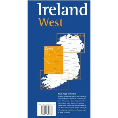
OSI Ireland West 1:250K Map
Explore the rugged beauty of Ireland's west coast with the OSI Ireland West 1:250K Map, featuring detailed routes, towns, and natural landmarks.
Features:
- Coverage: Includes Galway City, Limerick City, Ennis, Nenagh, Tuam, Castlebar, Castlerea, Roscommon, Ballina, Sligo, Bundoran.
- Roads: Displays all principal roads, including motorways M7, M20, M18, and M6.
- Airports and Ferries: Shows Shannon International Airport and ferry routes to several islands, including the Aran Islands.
- Tourist Routes: Highlights the Wild Atlantic Way, from Ballybunnion in Kerry to Bundoran in Donegal.
- Coastline and Islands: Detailed depiction of Loop Head Peninsula, Cliffs of Moher, Aran Islands, Galway Bay, Connemara coast, Clew Bay, and Achill Island.
- Lakes and Rivers: Covers major lakes such as Lough Mask, Lough Corrib, Lough Conn, Lough Allen, and Lough Derg on the River Shannon.
- Mountains: Features the Ox Mountains, Nephin Beg Range, Silvermine Mountains, Sheeffrey Hills, Partry Mountains, Maumturk Mountains, and The Twelve Pins.
- Cultural Sites: Identifies cultural hotspots in County Clare, Connemara, Galway, Mayo, Bunratty Castle, St John’s Castle, and Galway City.
- Edition and Scale: Second edition, 2018, at a scale of 1:250,000.
$11.76
OSI Ireland West 1:250K Map—
$11.76
Product Information
Product Information
Shipping & Returns
Shipping & Returns
Description
Explore the rugged beauty of Ireland's west coast with the OSI Ireland West 1:250K Map, featuring detailed routes, towns, and natural landmarks.
Features:
- Coverage: Includes Galway City, Limerick City, Ennis, Nenagh, Tuam, Castlebar, Castlerea, Roscommon, Ballina, Sligo, Bundoran.
- Roads: Displays all principal roads, including motorways M7, M20, M18, and M6.
- Airports and Ferries: Shows Shannon International Airport and ferry routes to several islands, including the Aran Islands.
- Tourist Routes: Highlights the Wild Atlantic Way, from Ballybunnion in Kerry to Bundoran in Donegal.
- Coastline and Islands: Detailed depiction of Loop Head Peninsula, Cliffs of Moher, Aran Islands, Galway Bay, Connemara coast, Clew Bay, and Achill Island.
- Lakes and Rivers: Covers major lakes such as Lough Mask, Lough Corrib, Lough Conn, Lough Allen, and Lough Derg on the River Shannon.
- Mountains: Features the Ox Mountains, Nephin Beg Range, Silvermine Mountains, Sheeffrey Hills, Partry Mountains, Maumturk Mountains, and The Twelve Pins.
- Cultural Sites: Identifies cultural hotspots in County Clare, Connemara, Galway, Mayo, Bunratty Castle, St John’s Castle, and Galway City.
- Edition and Scale: Second edition, 2018, at a scale of 1:250,000.