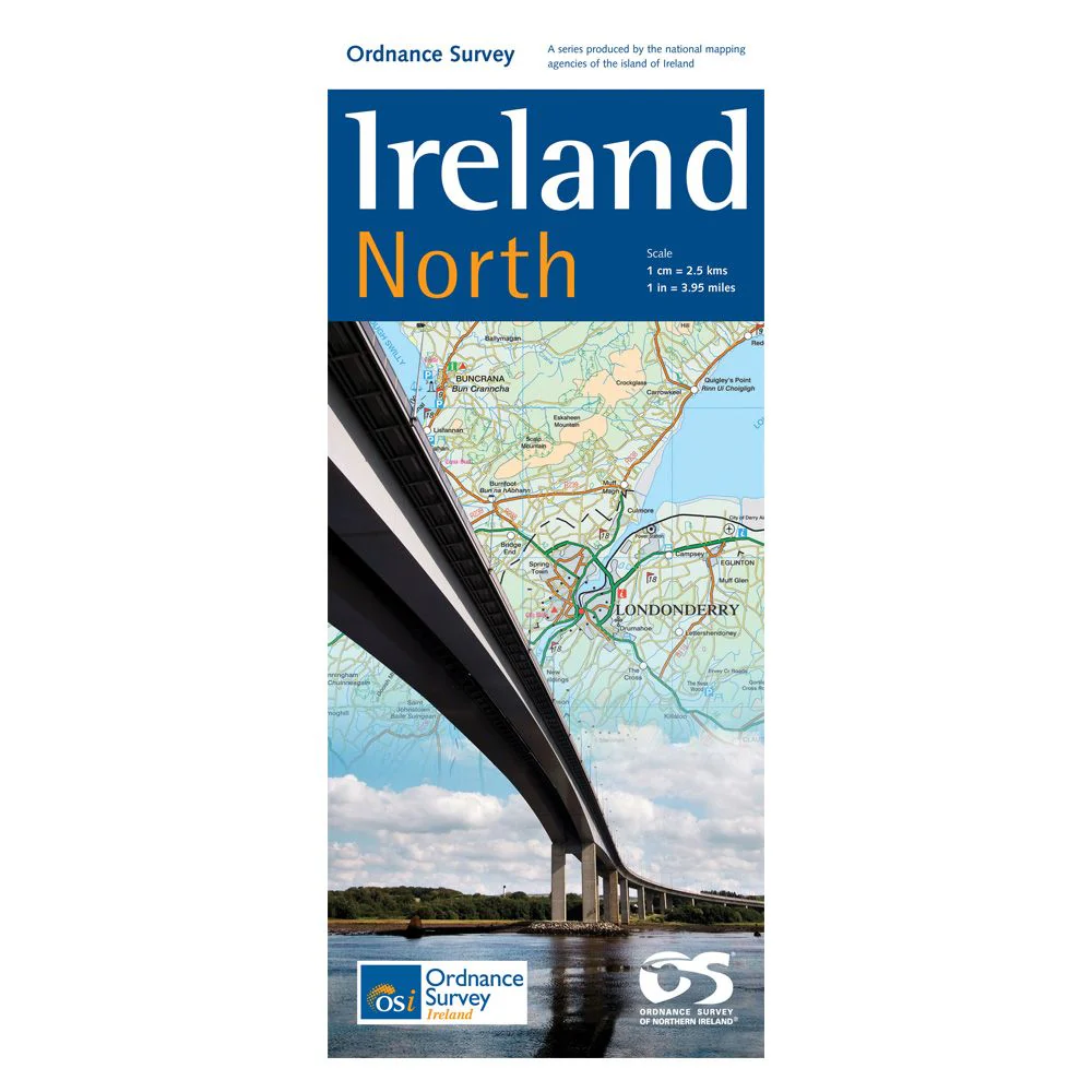
OSI Ireland North 1:250K Map
This detailed OSI Ireland North 1:250K Map highlights Northern Ireland's villages, towns, cities, and key geographical features, including lakes, mountains, and coastal lines, ideal for hikers and travelers.
Features:
- Detailed mapping of all Northern Ireland's villages, towns, and cities including Armagh, Belfast, Lisburn, Londonderry, and Newry
- Highlights principal towns in the Republic of Ireland such as Letterkenny, Donegal, Sligo, Monaghan, and Castleblayney
- Comprehensive road network from third class roads to motorways
- Includes both airports in Belfast and all ferry ports with routes and destinations
- Rail network with clearly marked stations
- Detailed county boundaries
- Depicts inland lakes, mountains, forests, and spectacular bays
- Features several mountain ranges including Mourne Mountains, Sperrin Mountains, Blue Stack Mountains, and Benbulbin
- Detailed coastline with bays and peninsulas including Sligo Bay, Donegal Bay, Inishowen Peninsula, Ards Peninsula, and Belfast Lough
- Highlights tourist attractions like Giant’s Causeway and islands like Aran Island, Tory Island, and Rathlin Island
- Clear presentation of the road network for easy motoring tours and cross-country exploration
- Tourist features including tourist offices, caravan parks, and picnic areas
$11.76
OSI Ireland North 1:250K Map—
$11.76
Product Information
Product Information
Shipping & Returns
Shipping & Returns
Description
This detailed OSI Ireland North 1:250K Map highlights Northern Ireland's villages, towns, cities, and key geographical features, including lakes, mountains, and coastal lines, ideal for hikers and travelers.
Features:
- Detailed mapping of all Northern Ireland's villages, towns, and cities including Armagh, Belfast, Lisburn, Londonderry, and Newry
- Highlights principal towns in the Republic of Ireland such as Letterkenny, Donegal, Sligo, Monaghan, and Castleblayney
- Comprehensive road network from third class roads to motorways
- Includes both airports in Belfast and all ferry ports with routes and destinations
- Rail network with clearly marked stations
- Detailed county boundaries
- Depicts inland lakes, mountains, forests, and spectacular bays
- Features several mountain ranges including Mourne Mountains, Sperrin Mountains, Blue Stack Mountains, and Benbulbin
- Detailed coastline with bays and peninsulas including Sligo Bay, Donegal Bay, Inishowen Peninsula, Ards Peninsula, and Belfast Lough
- Highlights tourist attractions like Giant’s Causeway and islands like Aran Island, Tory Island, and Rathlin Island
- Clear presentation of the road network for easy motoring tours and cross-country exploration
- Tourist features including tourist offices, caravan parks, and picnic areas