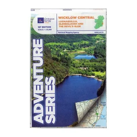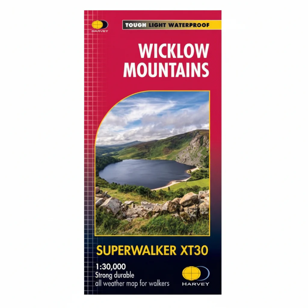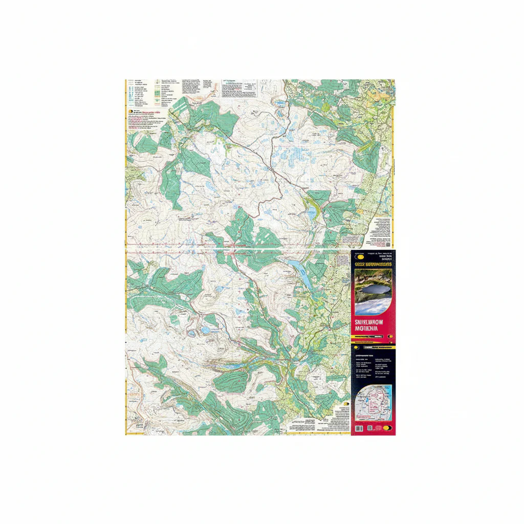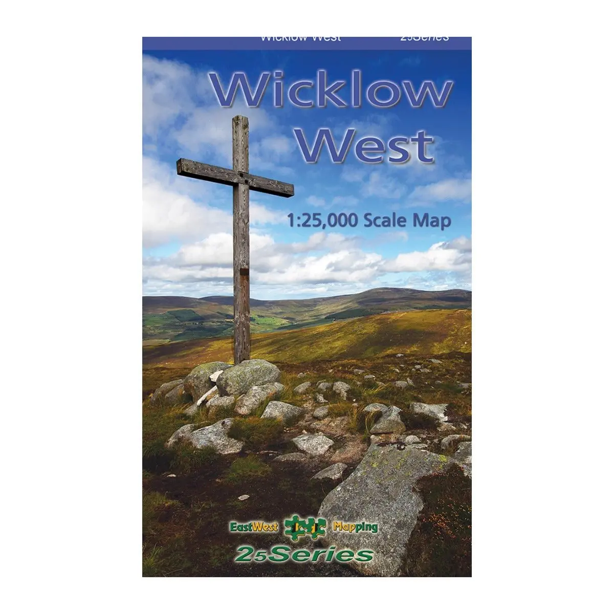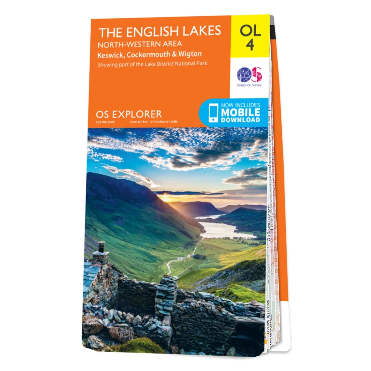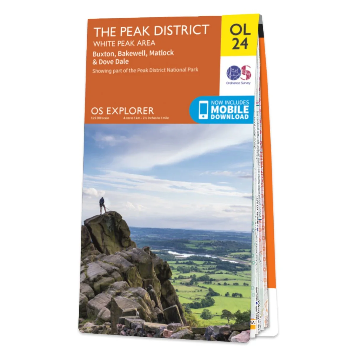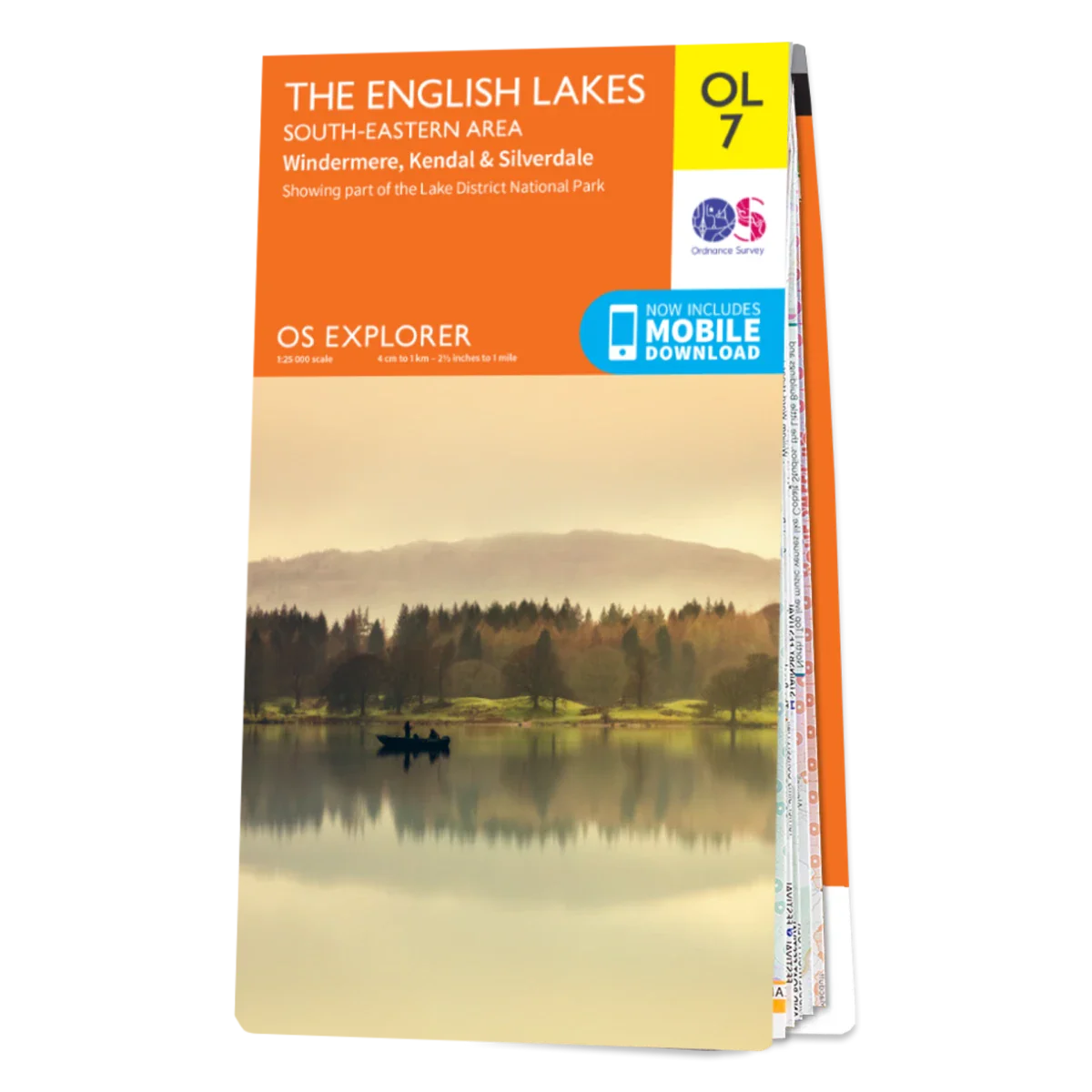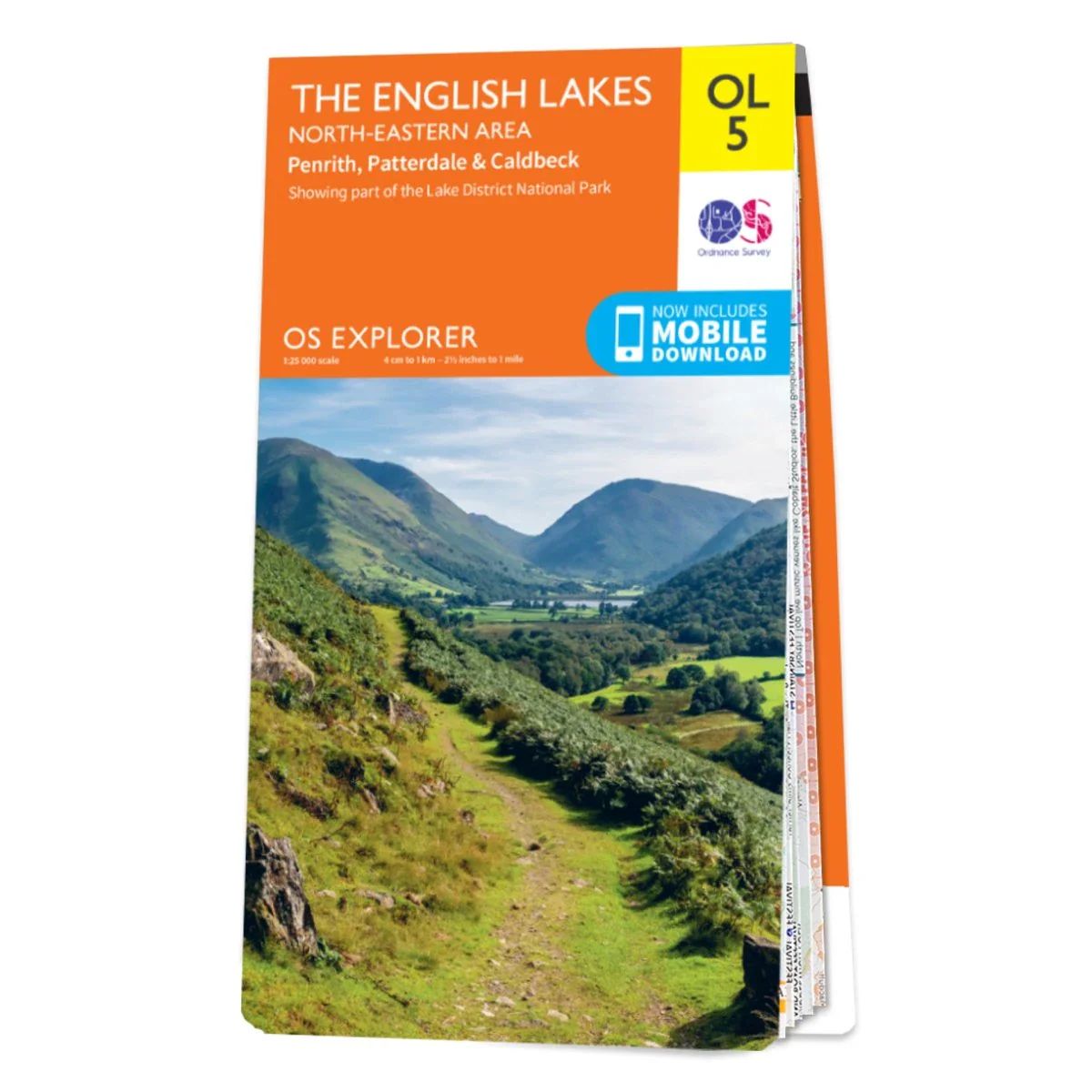


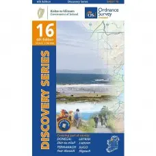
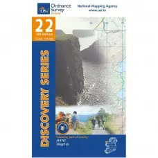
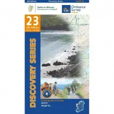
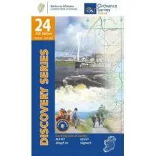
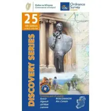
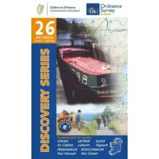
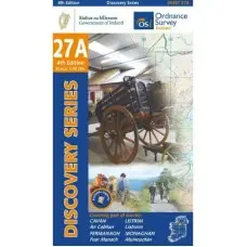
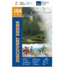
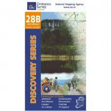
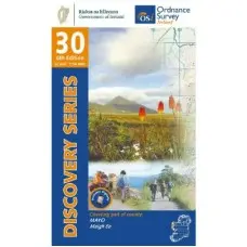
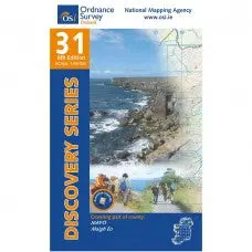

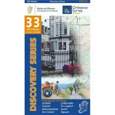
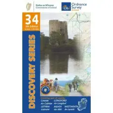
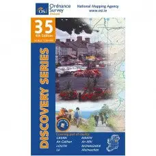
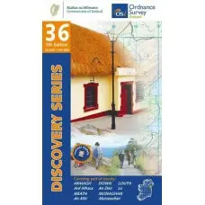
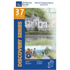
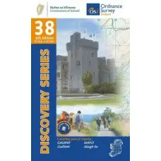
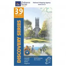
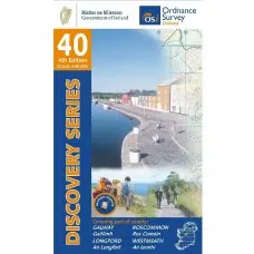
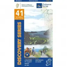
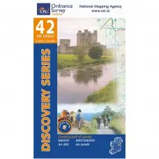


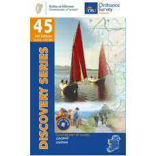
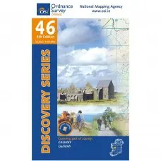

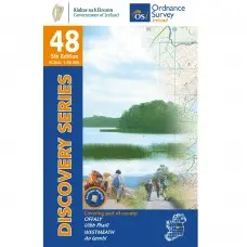


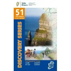

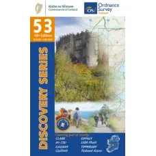
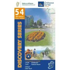
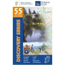
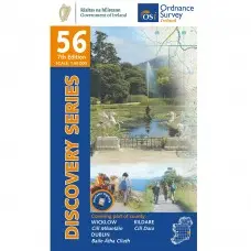
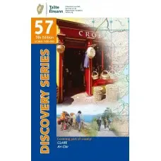
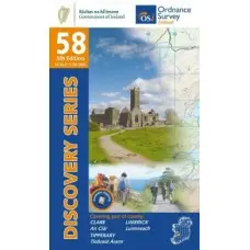

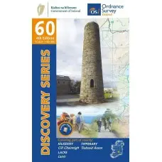
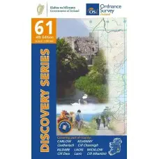
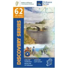
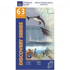
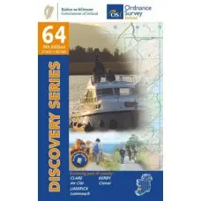
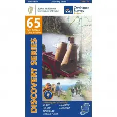

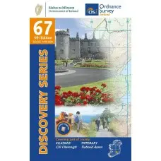
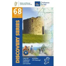
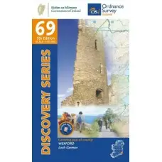
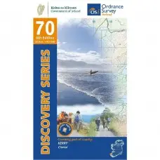


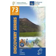
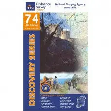


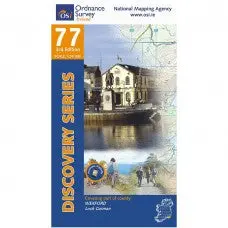
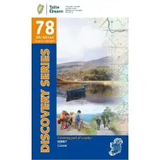

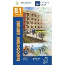
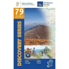

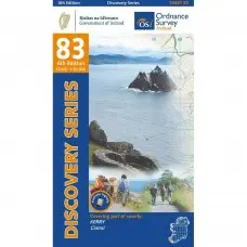

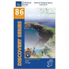

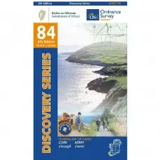

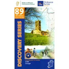
OSI Paper 1:50K Maps
The Ordnance Survey Ireland (OSI) Discovery Series Map 1:50,000 - Paper Edition is the perfect companion for outdoor enthusiasts, offering detailed and accurate coverage of the Republic of Ireland. This map series is ideal for walking, cycling, and exploring Ireland's natural beauty. With comprehensive information on trails, forests, and summits, it's a reliable tool for adventure and navigation.
Features
- 1:50,000 Scale: Provides detailed general-purpose mapping, ideal for outdoor activities.
- Covers Entire Republic of Ireland: Àll map tiles available, each covering a set area.
- Summit & Waymarked Information: Includes forestry data, trails, and third-party summit information for enhanced value.
- Irish Grid (IG) or ITM Raster Format: Suitable for GIS applications, offering compatibility with Irish grid mapping systems.
- Digital Companion Available: The Discovery Series can be digitally represented for use in web-based applications or event planning.
- Legend for Easy Reference: Download the Discovery Series Legend here for symbol explanations.
Original: $11.76
-65%$11.76
$4.12Product Information
Product Information
Shipping & Returns
Shipping & Returns
Description
The Ordnance Survey Ireland (OSI) Discovery Series Map 1:50,000 - Paper Edition is the perfect companion for outdoor enthusiasts, offering detailed and accurate coverage of the Republic of Ireland. This map series is ideal for walking, cycling, and exploring Ireland's natural beauty. With comprehensive information on trails, forests, and summits, it's a reliable tool for adventure and navigation.
Features
- 1:50,000 Scale: Provides detailed general-purpose mapping, ideal for outdoor activities.
- Covers Entire Republic of Ireland: Àll map tiles available, each covering a set area.
- Summit & Waymarked Information: Includes forestry data, trails, and third-party summit information for enhanced value.
- Irish Grid (IG) or ITM Raster Format: Suitable for GIS applications, offering compatibility with Irish grid mapping systems.
- Digital Companion Available: The Discovery Series can be digitally represented for use in web-based applications or event planning.
- Legend for Easy Reference: Download the Discovery Series Legend here for symbol explanations.