
Dingle Peninsula XT30 1:30K Map
Explore the stunning Dingle Peninsula with this lightweight, waterproof XT30 map by Harvey Maps, scaled at 1:30,000 for detailed hiking guidance.
Features
- Lightweight and waterproof for durability in all weather conditions.
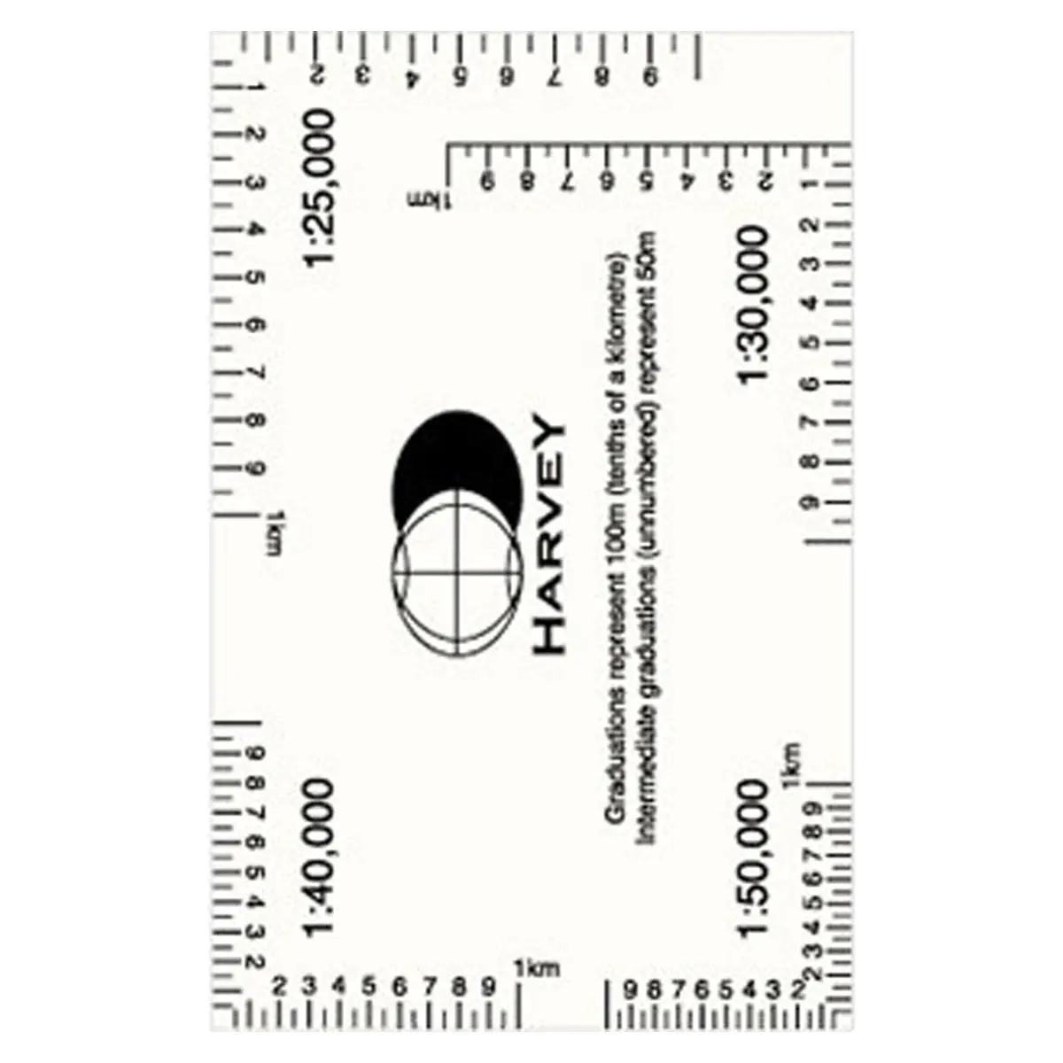
- Scale of 1:30,000 for detailed and precise navigation.
- Covers Mount Brandon, Brandon Group of mountains, and Slieve Mish mountains.
- Includes the Dingle Way, a 179km long-distance walking route.
- Shows the Blasket Islands at a 1:50,000 scale.
- Placenames in both English and Gaeilge/Gaelic.
- Clearly marks archaeological sites, walls, and fences in farmland.
- Ideal for hiking, day trips, and exploring the most westerly point of Europe.
$9.06
Original: $25.89
-65%Dingle Peninsula XT30 1:30K Map—
$25.89
$9.06Product Information
Product Information
Shipping & Returns
Shipping & Returns
Description
Explore the stunning Dingle Peninsula with this lightweight, waterproof XT30 map by Harvey Maps, scaled at 1:30,000 for detailed hiking guidance.
Features
- Lightweight and waterproof for durability in all weather conditions.
- Scale of 1:30,000 for detailed and precise navigation.
- Covers Mount Brandon, Brandon Group of mountains, and Slieve Mish mountains.
- Includes the Dingle Way, a 179km long-distance walking route.
- Shows the Blasket Islands at a 1:50,000 scale.
- Placenames in both English and Gaeilge/Gaelic.
- Clearly marks archaeological sites, walls, and fences in farmland.
- Ideal for hiking, day trips, and exploring the most westerly point of Europe.